The following transportation and utility related maps are available for free download. Please note that we no longer offer printing services to the public.
- Tompkins County Bridges (Updated April 2023)
- Tompkins County Highway Functional Classification Map (May 2018)
- Multi-Use Trails in Tompkins County (Updated March 2018)
- Road Patrol Atlas
- Federal Functional Classification Map
- Tompkins County Highway Maps by Town (OLD)
- Tompkins County Highway Map
- Tompkins County Highway Map w/ color
- Bridges in Tompkins County (OLD)
- ransportation Improvement Program (2023-2027)
- Tompkins County Street Basemap
- Tompkins County Traffic Analysis Zones (TAZ)
- Name
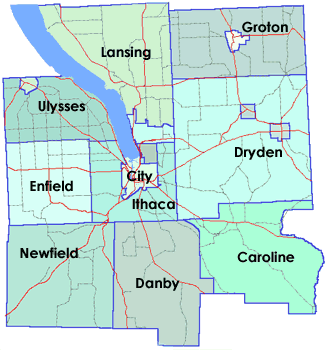
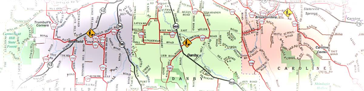
Highway Maps by Town
Click on the Municipality name in the links or the map below to access the PDF Map for that Municipality. Please note that the Village and Towns are on the same map.